HKU Geography co-hosts the 3rd Remote Sensing Academic Forum in Kunming
- Jan 10
- 3 min read
Updated: Jun 2
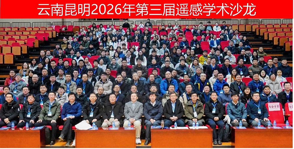
The Third Remote Sensing Academic Forum, jointly organized by Yunnan Normal University and the University of Hong Kong with the theme “Artificial Intelligence and Remote Sensing,” was successfully held in Kunming, China, from January 10 to 11, 2026.
The event brought together nearly 100 experts and scholars from more than 20 leading universities and research institutions, including the University of Hong Kong, Peking University, Wuhan University, Sun Yat‑sen University, Beijing Normal University, the Aerospace Information Research Institute of the Chinese Academy of Sciences, and the Institute of Geographic Sciences and Natural Resources Research of the Chinese Academy of Sciences. Among the participants were close to 30 national‑level distinguished scholars and nearly 40 nationally recognized young talents. Over two days, attendees engaged in in‑depth academic exchanges and intellectual discussions around key topics such as cutting‑edge AI technologies in remote sensing, innovations in mechanism‑based modeling, and multidisciplinary integration.
At the opening ceremony, Professor Hu Jinming, President of Yunnan Normal University, first delivered a welcome address on behalf of the organizers. He recalled with deep emotion the long scholarly lineage of the university’s Faculty of Geography, which traces its origins to the historic National Southwest Associated University, and highlighted the distinctive research strengths the discipline has developed in areas such as low‑latitude plateau geographic processes and remote sensing–based monitoring of resources and the environment. Following this, the conference chair, Professor Liang Shunlin, delivered the keynote address, articulating the mission and spirit of this year’s forum. He emphasized that China’s remote‑sensing science and technology is currently at a pivotal stage of leapfrog development. On one hand, the integrated air–space–ground–ocean observation system is becoming increasingly mature, leading to an “explosive growth” of data. On the other hand, the pressing challenge for the entire field is how to shift from mere data accumulation to deeper knowledge discovery and decision support. In this year’s forum, Professor Zhang Hongsheng served in the Organizing Committee. More than ten young scholars from the HKU Department of Geography delivered oral or poster presentations in the forum.


The forum featured seven thematic sessions: “AI Applications in Terrestrial Ecology and Agriculture,” “AI Applications in Land Surface Energy Balance,” “AI Applications in the Cryosphere and Hydrosphere,” “AI‑Based Classification and Change Detection,” “Remote Sensing Foundation Models,” “Key Scientific and Technological Issues in Remote Sensing,” and “Opportunities and Challenges.” On the application front, four major themes—AI for terrestrial ecology and agriculture, land surface energy balance, the cryosphere and hydrosphere, and classification and change detection—showcased the tremendous potential of AI technologies in natural‑resource supervision, global‑change assessment, and precision agriculture. The forum also invited members of the GEO (Group on Earth Observations) Third Decadal Strategy Working Group, who provided an in‑depth interpretation of China's involvement in the GEO Third Decadal Plan (2026–2035).
During the “Challenges and Solutions” panel discussion chaired by Professor Liang Shunlin, participating experts engaged in a deep dialogue on the future trajectory of China’s remote‑sensing technology. Addressing the current limitations of AI in remote‑sensing applications, the experts widely agreed that the next stage of development requires more profound integration with computer science, physics, Earth‑system science, and even the social sciences. The discussion highlighted that, while pursuing more advanced algorithms and greater computational power, the field must pay close attention to the physical consistency of AI models and the interpretability of their outputs.


