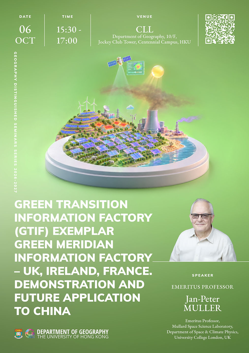
06 OCT 2026 (TUE) 15:30-17:00
Geography Distinguished Seminar Series
Green Transition Information Factory (GTIF) exemplar Green Meridian information factory – UK, Ireland, France. Demonstration and future Application to China
Date: 06 OCT 2026 (Tuesday)
Time: 15:30-17:00 (HKT)
Venue: CLL, Department of Geography, 10/F, The Jockey Club Tower, Centennial Campus, HKU
Mode: Hybrid
Via Zoom: Zoom link will be provided upon successful registration
Registration link: https://hkuems1.hku.hk/hkuems/ec_hdetail.aspx?guest=Y&ueid=109743
Abstract:
The impact of solar power is changing the landscape in China and across the world as countries attempt to move away from their dependence on coal, oil and gas. WebGIS Decision-support tools that enable this process have been developed to help accelerate this process in the future. The ESA GTIF (Green Transition Information Factory) is one such initiative and the Green Meridian information factory (GMif) one manifestation which covers the UK, Ireland and France. In addition to solar agrivoltaic planning, GMif has developed a novel drought forecasting system based on AI, a super-resolution enhancement using the Swinn transformer for 1km PM2.5 derived from MODIS, an Urban Heat Island mapper using Landsat and SDGSat-1 and a dynamic tool for mapping methane plumes from Sentinel-2. All of these so-called capabilities are enhanced by a webGIS eodashboard which allow interactive queries to be made as well as "what if" exploration to be demonstrated. Recently, Song, Feng, Muller et al. (2026) Nature Sustainability (10.1038/s41893-026-01836-5 ) has been published and the results will here be discussed which show that until and unless coal smoke aerosol is dramatically reduced, bringing in new capacity in PV farms will not add the additional electrical power capacity expected.
Emeritus Professor Jan-Peter Muller
Emeritus Professor of Image Understanding and Remote Sensing, Mullard Space Science Laboratory, Department of Space & Climate Physics, University College London, UK
Jan-Peter Muller is Emeritus Professor of Image Understanding and Remote Sensing at the Mullard Space Science Laboratory, Department of Space and Climate Physics at University College London, UK. He worked on the MODIS (1988-2016) science team jointly responsible with Alan Strahler at BU to develop the BRDF/albedo product and led the development of cloud-top height and motion from multi-angle stereo on MISR (1990-present). He has worked on ESA-NRSCC DRAGON projects since 2004 including on the application of SAR to monitor the stability of the Three Gorges dam region from 2004-2016 (DRAGON1-4). He was appointed a Pifi fellow at CAS/CBAS in 2024 and is working with Guang Liu and his team on data fusion of SDGSat-1 TIS and GIU data (part of a new DRAGON6 project led by Rui Song) as well as on a future lunar-based observatory of the Earth's atmosphere. His interests include spectral albedo retrieval from EO and ground-based sensors, mapping flow fields in visible and TIR images of clouds from the ground and from space and applications of AI for drought forecasting, PM2.5 and LST super-resolution enhancement and single image height estimation. He was a CoI on the ESA Earth Explorer 10 Harmony mission (interferometric bistatic SAR and TIR multi-angle). He developed an operational 10m spectral and broadband albedo product for the European Commission as part of the Copernicus Global Land Monitoring Sentinel-2 Global Mosaic (S2GM) which was recently renamed S2MOD.